Colorado State Map 
The interactive Colorado State Map below will be helpful for visitors coming from any direction, solo or with a group. Getting to and through Colorado is a stress-free endeavor. The majority of the state’s resorts and attractions are located within an hour of any airport, and shuttle services stand by to make the trek to the high country even easier.
Denver International Airport (DIA) is the 10th busiest airport in the world and has been rated the best-run airport in North America. DIA is the state’s largest airport and directly connects to regional airports. Numerous airports also directly serve larger Colorado communities.
More Helpful Travel Resources
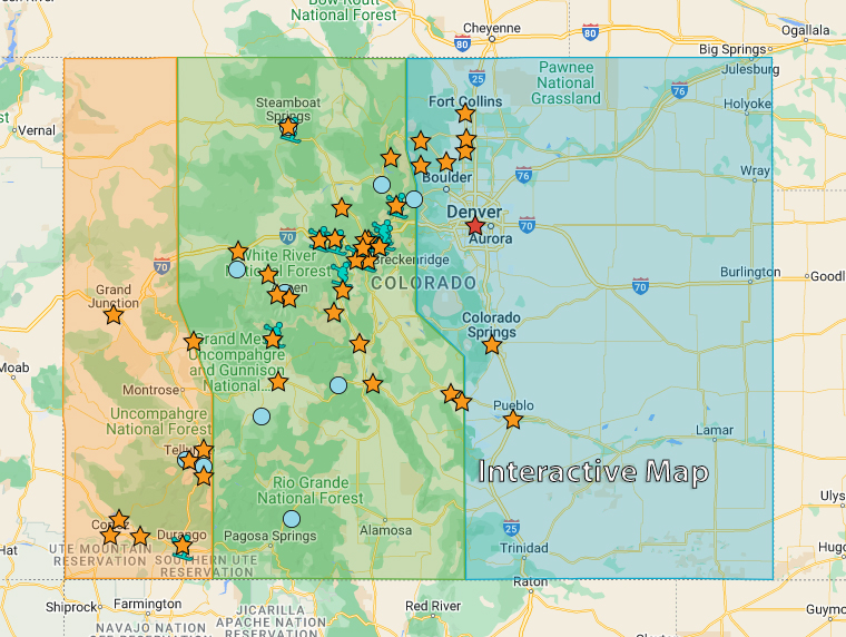
Click the icon on the below interactive map to learn more about each destination.
Shining Mountains Film Festival
Dec 12 - Dec 02
320 E Hyman Ave Aspen, COAspen Indigenous Foundation presents the 5th annual Shining Mountains Film Festival, with feature length and short films

Sew Subversive
Dec 12
427 E Colorado Ave., Colorado Springs, COThroughout human history, textile creations have been perceived as more avocation than art form. Weaving, quilting, knit